Site 7. 27th Street
Ghost Rivers: Sumwalt Run
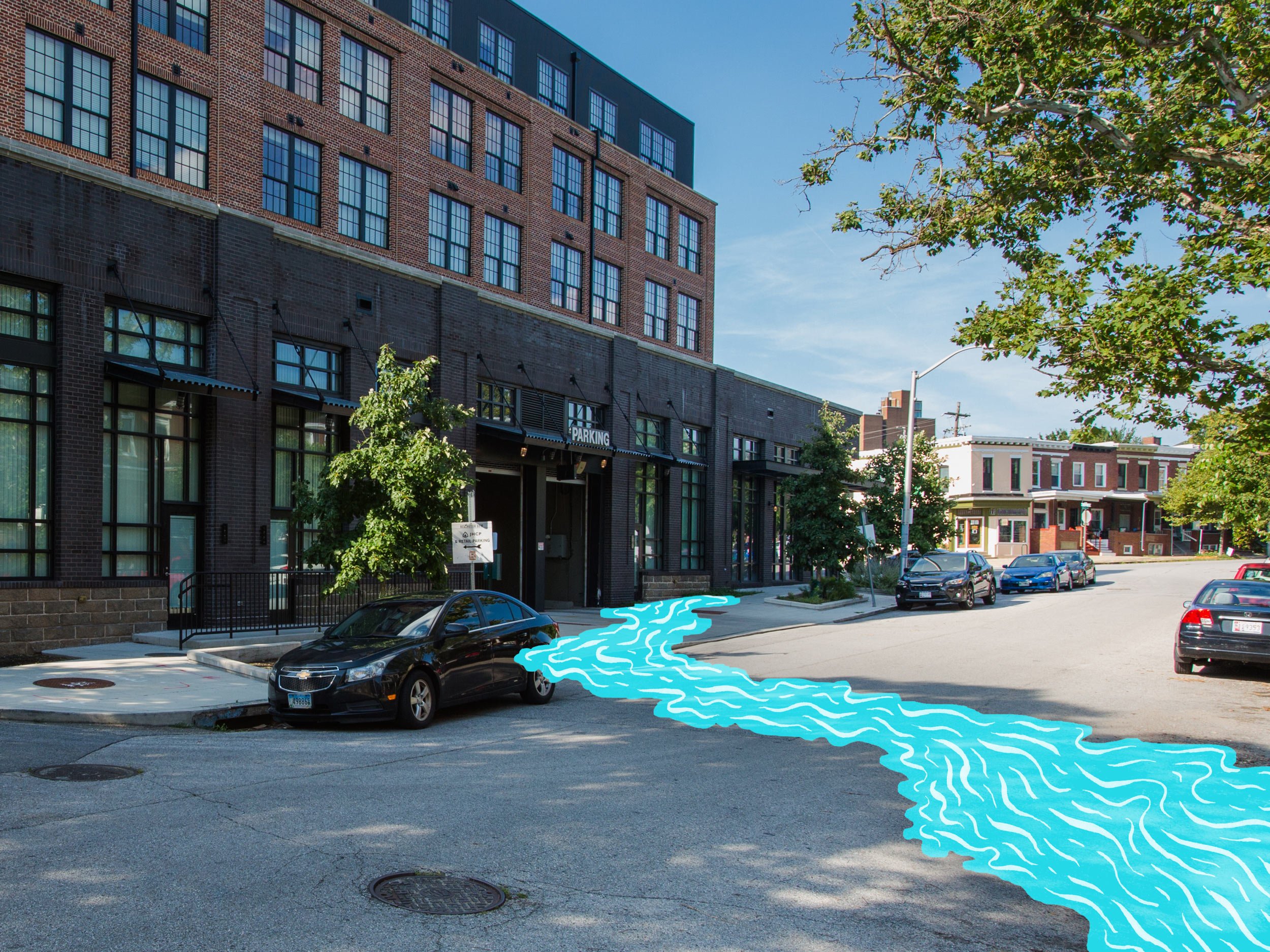
Listen closely. If you stand near the storm drain at Fox Street you can hear the buried stream, Sumwalt Run.

Picture a valley, descending 40 feet below where you now stand, its slopes lined with ancient beech trees whose branches reach out over a rocky creek. Beaver dams and small ponds punctuate the creek with green oases. Dragonflies buzz circles around lily flowers, and bullfrogs croak from the reeds. Millions of plants, animals, and insects lived here, drawing life from the stream.
People lived here as well. For thousands of years before white colonists settled in the area, Indigenous North Americans had their own relationships to local waterways. People made their camps and homes near streams, with ready access to clean water, fish and game. European colonists took the names of their waterways — Chesapeake, Patapsco, Potomac, Susquehanna — then took the land and water itself.
Like Sumwalt Run, the histories of the Susquehannock, Piscataway, and previous peoples of this area were buried and paved over. But today through archival research, oral histories, and archeology, historians and tribal descendants are working to uncover and bring daylight to hidden narratives of Maryland’s indigenous peoples. Their more intentional footprint on the landscape holds lessons about reconnecting our own places to the rhythms of nature. Whether through Indigenous land management techniques or biophilic design principles, can humans reestablish a deliberate and collaborative relationship with our natural environment?


Cultivating nature as a partner

Potawatomi women harvesting wild rice. Engraving after S. Eastman, 1853. (Milwaukee County Historical Society)
The local Piscataway and Susquehannock and other Indigenous North Americans cultivated forests and waterways to provide abundant food sources, including fish, wild game, fruit, and grains. Small dams and weirs were built to create new fishing holes on rivers, and controlled burns rejuvenated meadows and prairies for crops or grazing. Indigenous land management techniques often harness or amplify natural cycles and renewal processes to shape the landscape for mutual human benefit.

Algonquian men fishing along the coast, ca. 1585 (Detail of a watercolor drawing by John White. Courtesy of the British Museum.)
A new community and a new landscape

The ground drops steeply down to the stream behind the Church of the Guardian Angel, as seen in this ca. 1905 photo taken from Huntingdon Avenue. (courtesy Maryland Episcopal Diocesan Archives)
Here on 27th Street stands the Church of the Guardian Angel, built in 1904 perched on the edge of the Sumwalt Run valley. Walking through the alley behind the church, you can still find traces of this original topography in the church’s sunken courtyard. Kromer Hall, added in 1920, was named for Reverend George Kromer, who established the Church’s social mission that includes a weekly food pantry, thrift store, and many community events.
““OUR PARENTS WOULD DROP US OFF AT SUNDAY SCHOOL EVERY WEEK. AFTER, WE’D GO TO THE BAKERY, TED AND FRED’S, RIGHT THERE ACROSS THE STREET. THEY HAD THE BEST PEACH CAKE AND DONUTS.””
Resources & Readings
Indigenous people are the world’s biggest conservationists, but they rarely get credit for it. Vox.com
1491: New Revelations of the Americas Before Columbus. Charles C. Mann. 2005, Knopf.
